



DeTect’s HARRIER Beyond Visual Line of Sight (BVLOS) systems are based on DeTect’s HARRIER Airspace Surveillance Radar technology and provide long-range airspace monitoring, including automatic aircraft risk notifications. The system supports the detection of both cooperative and non-cooperative aircraft, extending the operational scope of Beyond Visual Line of Sight (BVLOS) unmanned aerial vehicle (UAV) missions.
Radar Systems
DeTect's HARRIER™ Beyond Visual Line of Sight (BVLOS) Systems
HARRIER™ System
DeTect’s HARRIER Beyond Visual Line of Sight (BVLOS) system is based on DeTect’s HARRIER Airspace Surveillance Radar technology. The system automatically detects both cooperative and non-cooperative aircraft, enabling unmanned aerial vehicle (UAV) operations to be extended Beyond Visual Line of Sight (BVLOS).
HARRIER Airspace Surveillance Radar technology has been used since 2008 by unmanned aircraft system (UAS) operators and drone detection and defense system developers and has also been utilized in Ground-Based Detect and Avoid (GBDAA) applications.
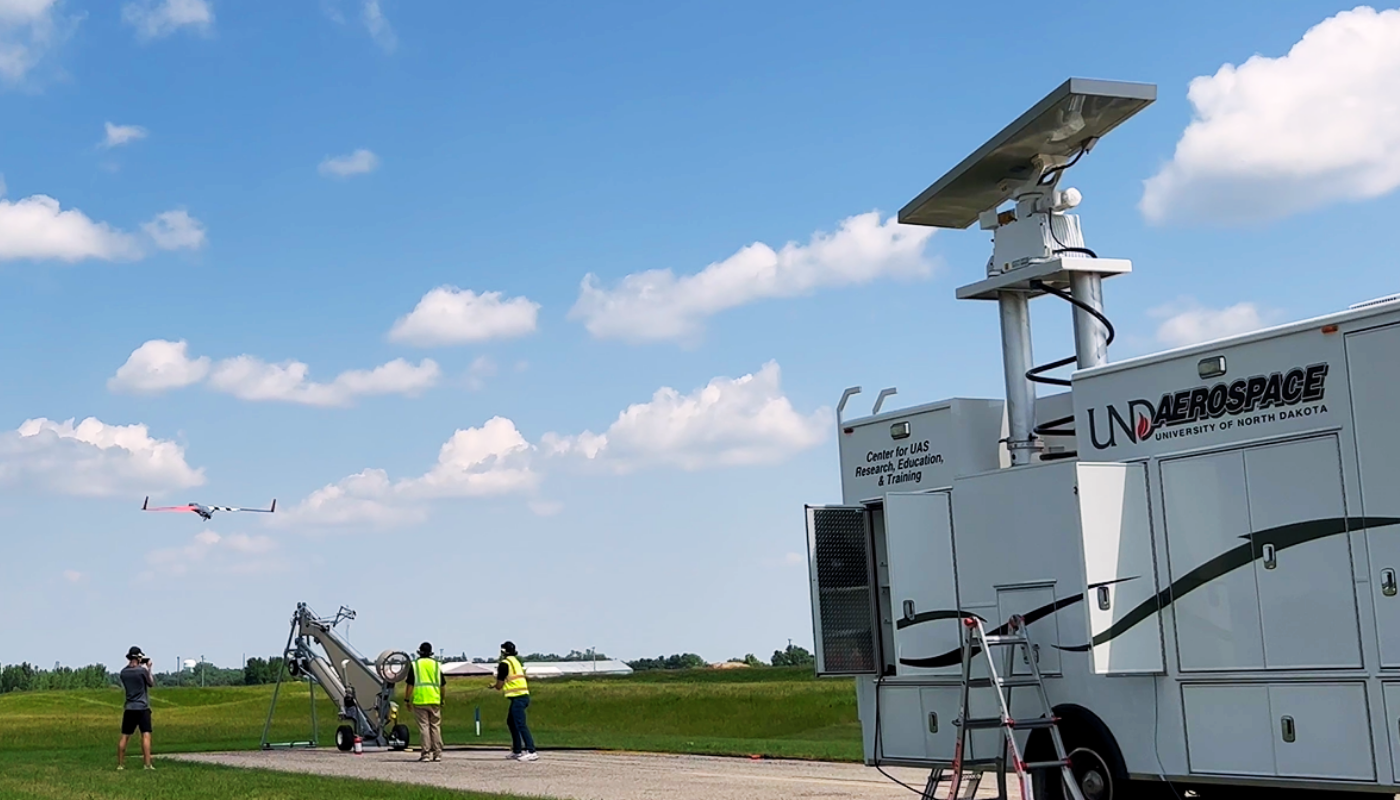
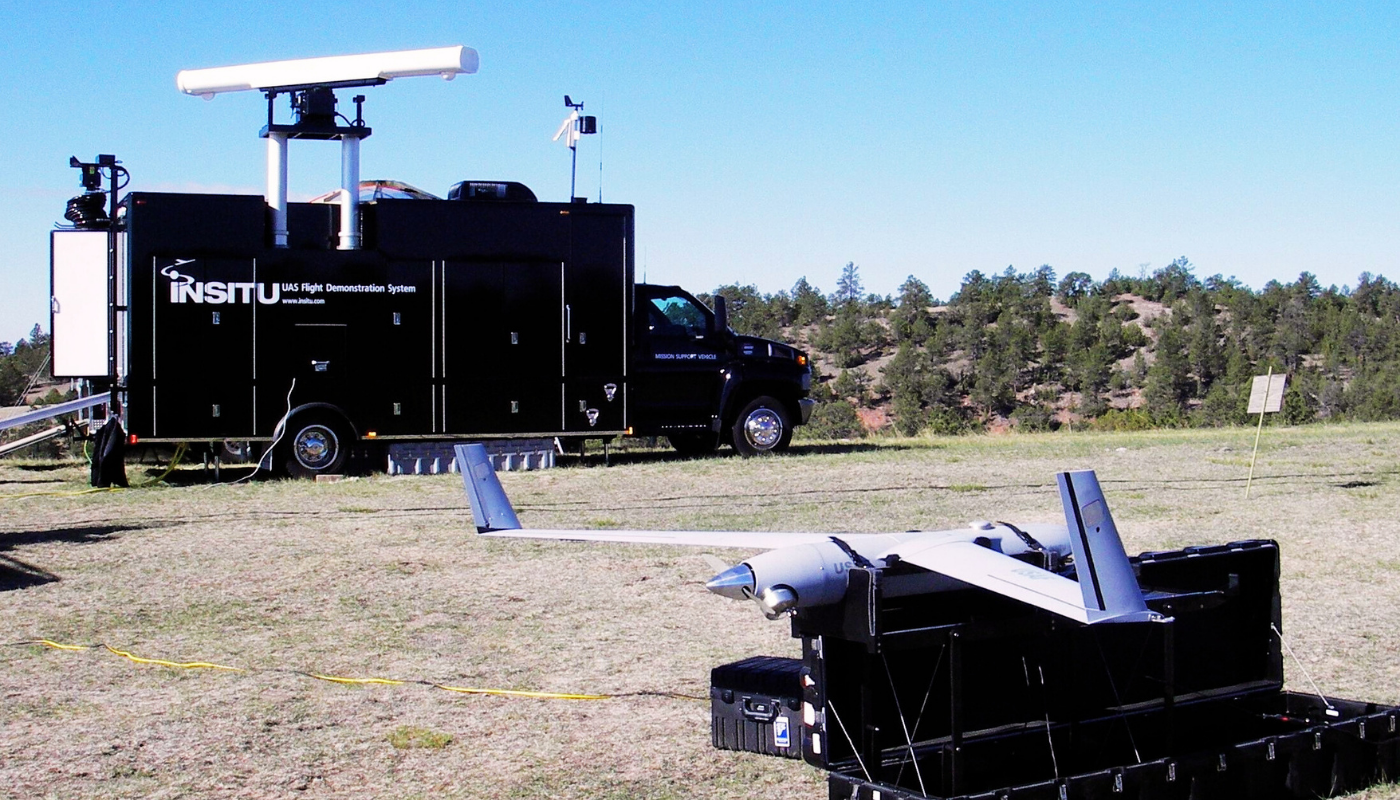
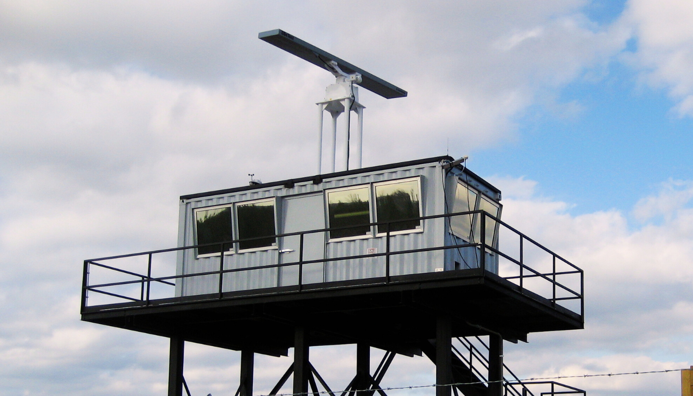
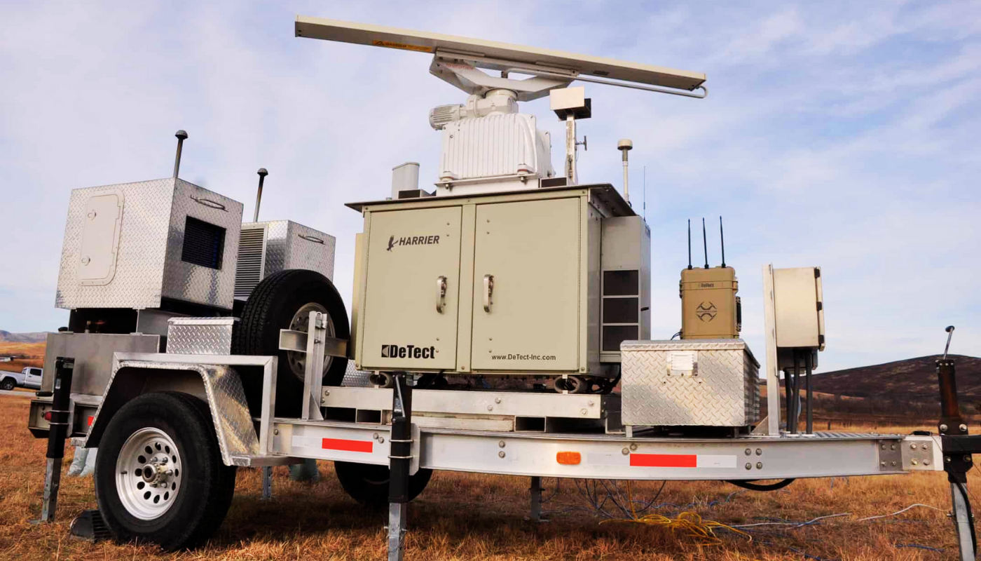
Systems designed to detect cooperative and non-cooperative aircraft are available in fixed and portable configurations, including custom mounting options for customer-provided vehicles.
HARRIER™ BVLOS Radar System Features
Solid-state S- or X-band Doppler radar with an MTBF rating of 50,000 hours
Detection of cooperative (transponder-equipped) and non-cooperative aircraft at ranges exceeding 20 miles
Secondary Traffic Advisory System (TAS) and Automatic Dependent Surveillance–Broadcast (ADS-B) interrogators are used for cooperative aircraft detection and data collection. Automatic target-type classification is performed using DeTect’s Smart Sensor™ technology.
Multifunction electro-optical/infrared (EO/IR) camera integration for simultaneous detection of UAVs, drones, and conventional aircraft—including ultralight aircraft, helicopters, and aircraft of various sizes—and for optional target designation
Automated operation using user-defined fixed or UAV-tracking risk-warning zones and violation boundaries
Full remote control and real-time information display (radar and video) for all users through secure network and web interfaces
Real-time viewing on wireless and cellular devices, including smartphones and tablets

Related Products

Radar Systems
MERLIN™ Aircraft Bird Strike Avoidance Radar
The MERLIN™ Aircraft Bird Strike Avoidance Radar is the first production-model bird strike radar system available for bird-aircraft collisio...

Radar Systems
MERLIN™ Aircraft Bird Strike Avoidance Radar
As TLY Enerji ve Savunma Sanayi A.Ş., we proudly offer the MERLIN™ Aircraft Bird Strike Avoidance Radar, one of the flagship technologies de...
Radar Systems
MERLIN™ Bird and Bat Monitoring Radar Technologies
The MERLIN™ Avian Radar System is the most capable, proven, and widely deployed bird and bat radar system available for avian and bat resear...
Radar Systems
MERLIN™ Bird Control Radar System
The MERLIN™ Detection and Deterrence Bird Control Radar System is the most advanced and proven radar solution for the continuous monitoring...