


Skip to content
Radar Systems

MERLIN™ Bird and Bat Monitoring Radar Technologies

MERLIN™ Bird and Bat Tracking Radar Technologies

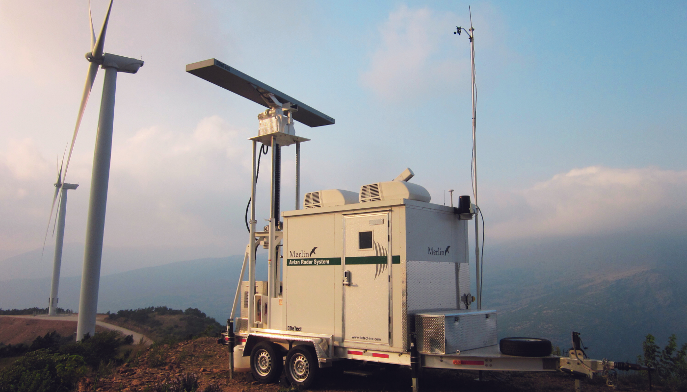
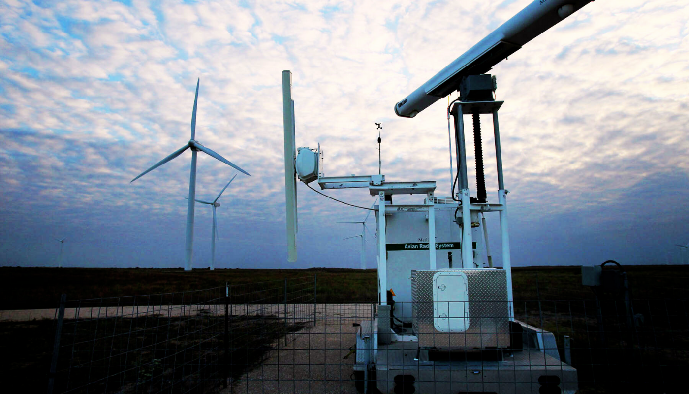
The MERLIN™ Avian Radar System is one of the proven, capable, and widely used bird and bat radar systems for bird and bat research, mortality risk analysis, habitat studies, and migration studies. It is also used for monitoring and reducing long-term and operational risks.

The MERLIN bird and bat radar system provides a proven, cost-effective, and scientifically valid method for collecting high-quality, statistically robust data on bird and bat movements at various project sites, including wind farms, solar farms, airports, landfills, and mines.

The MERLIN bird and bat tracking radar system uses technology originally developed by DeTect for U.S. Air Force and NASA military aviation and Space Shuttle flight-safety applications.

MERLIN bird-control systems represent an advanced and proven bird-radar technology, with more than 250 systems delivered worldwide.

MERLIN bird-control technology is supported by DeTect specialists with expertise in remote detection of birds and bats for aviation safety and environmental management. The team includes bird biologists and radar ornithologists and provides specialized expertise in design, construction, and operations.

MERLIN uses state-of-the-art bird and bat radar systems employing computer techniques specifically developed to detect and track the unique behavioral characteristics of birds and bats. These radars continuously and automatically collect data under varying conditions, creating highly accurate and detailed datasets. The resulting high-accuracy data can be used for project decision-making, planning, permitting processes, and risk management.

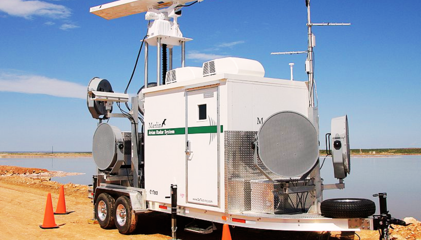
MERLIN's radar detection process is highly automated, and the system provides high operational availability with low maintenance requirements in demanding environments. The bird and bat radar system can operate unattended 24/7 and can be remotely accessed and controlled over local networks and the internet using various connectivity options such as WLAN, WWAN, and satellite communications.

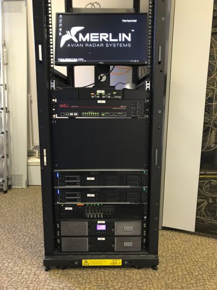
MERLIN bird and bat radar systems are supplied with a comprehensive range of standard data-analysis routines as well as an SQL server-based data-system option. All data are archived in an advanced SQL database that provides a permanent record for each project and can be used for further processing and modeling in Geographic Information Systems (GIS), Google Earth, and other analytical software.

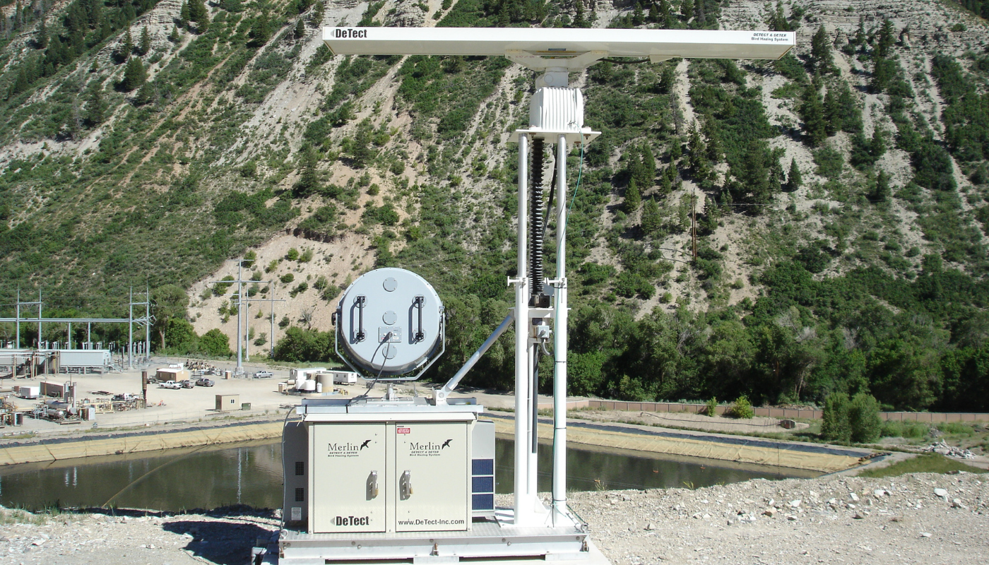
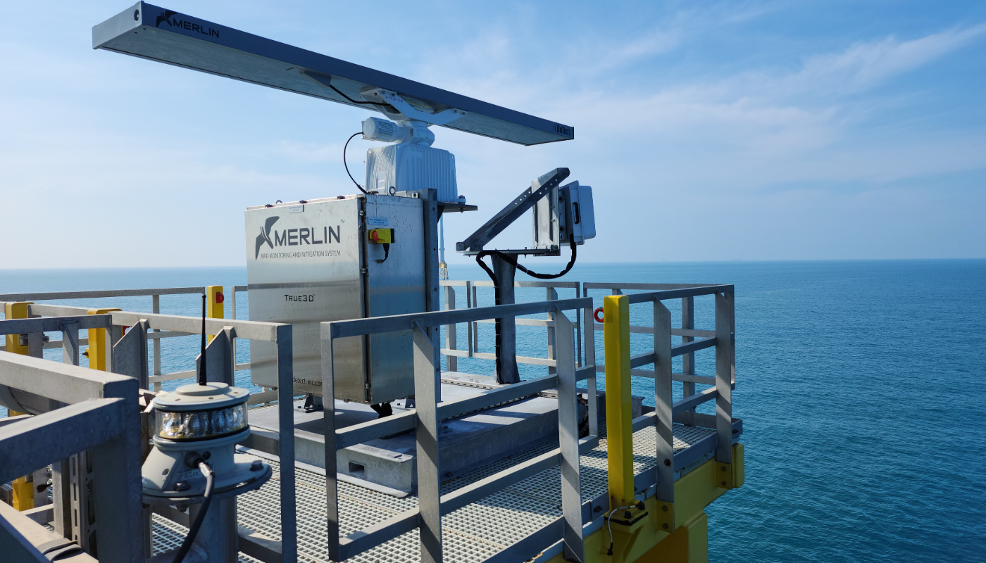
Bird and bat radar systems are self-contained systems incorporating onboard control cabinets, remote automatic startup systems, primary or backup power systems, and the hardware and software required for bird and bat tracking, suppression, and data recording. Custom configurations can also be provided with additional sensors such as thermal cameras, bat-detection systems, insect detectors, vertical profilers, and acoustic monitors.

DeTect provides comprehensive support for bird-control system installation and user training.
Each system is supplied with a comprehensive parts and labor warranty and includes MERLIN radar software updates. Bird and bat tracking radar systems are available for short-term rental, long-term lease, or purchase, with or without DeTect operators.

The main capabilities and application areas of MERLIN technology include:

  • Radar surveys for risk assessment

  • Siting of new projects and expansion of existing sites

  • Migratory bird and bat research

  • Habitat assessment and use analysis

  • Monitoring and control of operating sites

  • Mortality risk assessment and mitigation planning

  • Radar studies for reducing bird and bat mortality

MERLIN bird and bat radar systems are used across many types of projects where bird mortality risk, bird control, and risk management are important:

  • Wind Energy Farms (onshore and offshore)

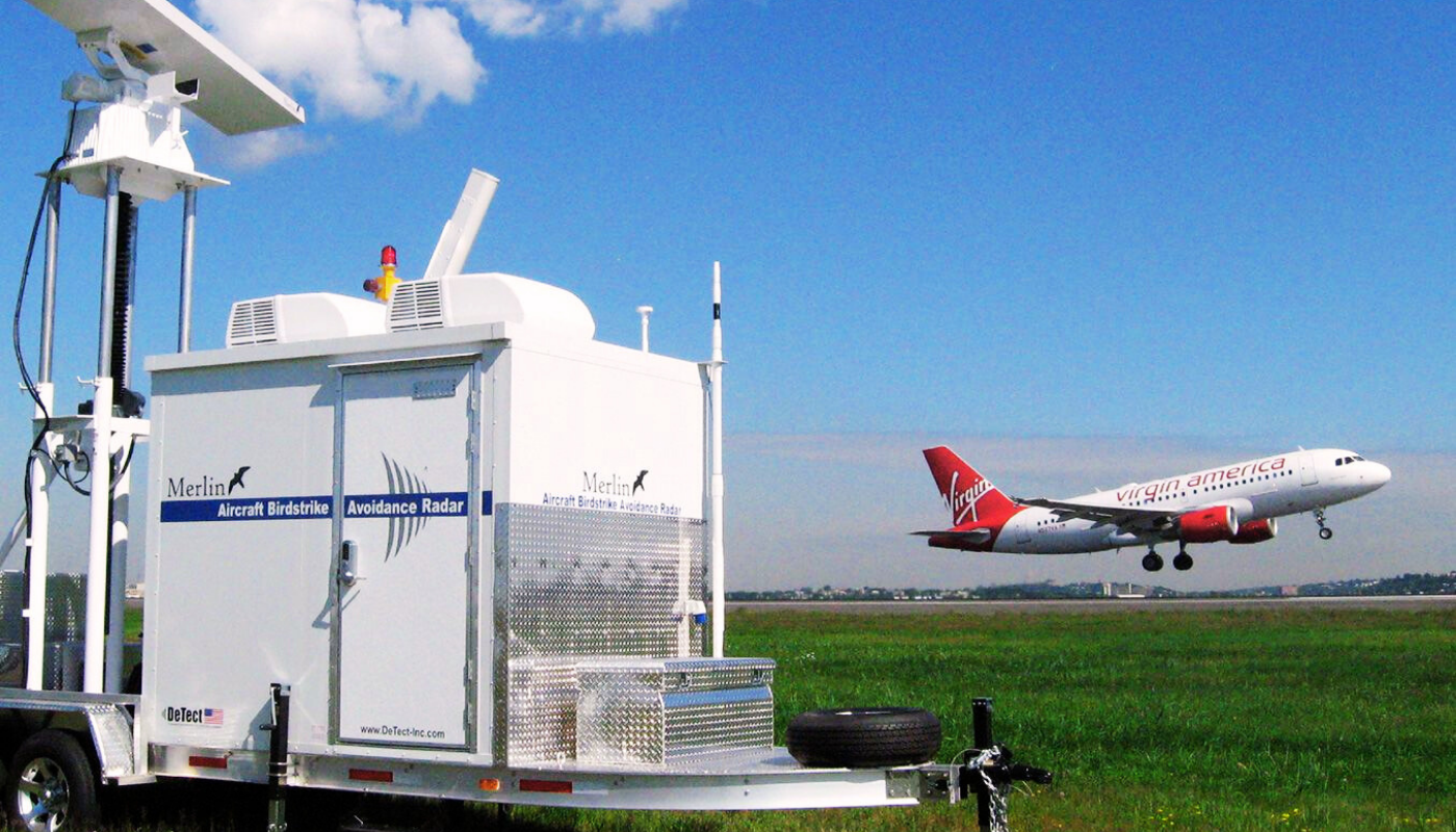
  • Airports (military and commercial)

  • Landfills

  • Chemical, Oil and Gas Facilities

  • Power Plants

  • Mines and Quarries

  • Contaminated and Hazardous Waste Sites

  • Evaporation Ponds

  • Solar Collector Systems

Wind Energy Project Bird Risk Assessment Radar Survey and Monitoring

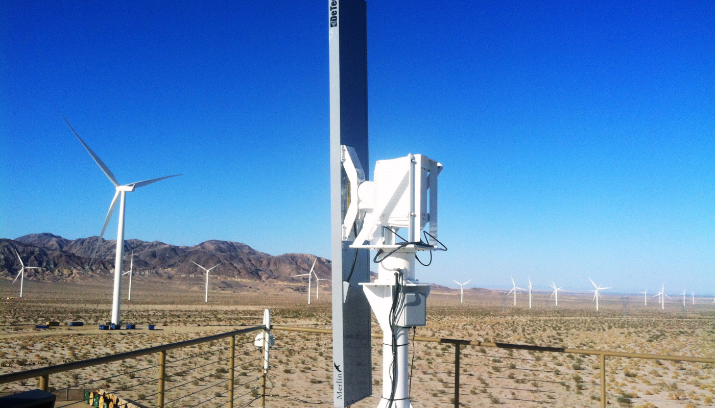
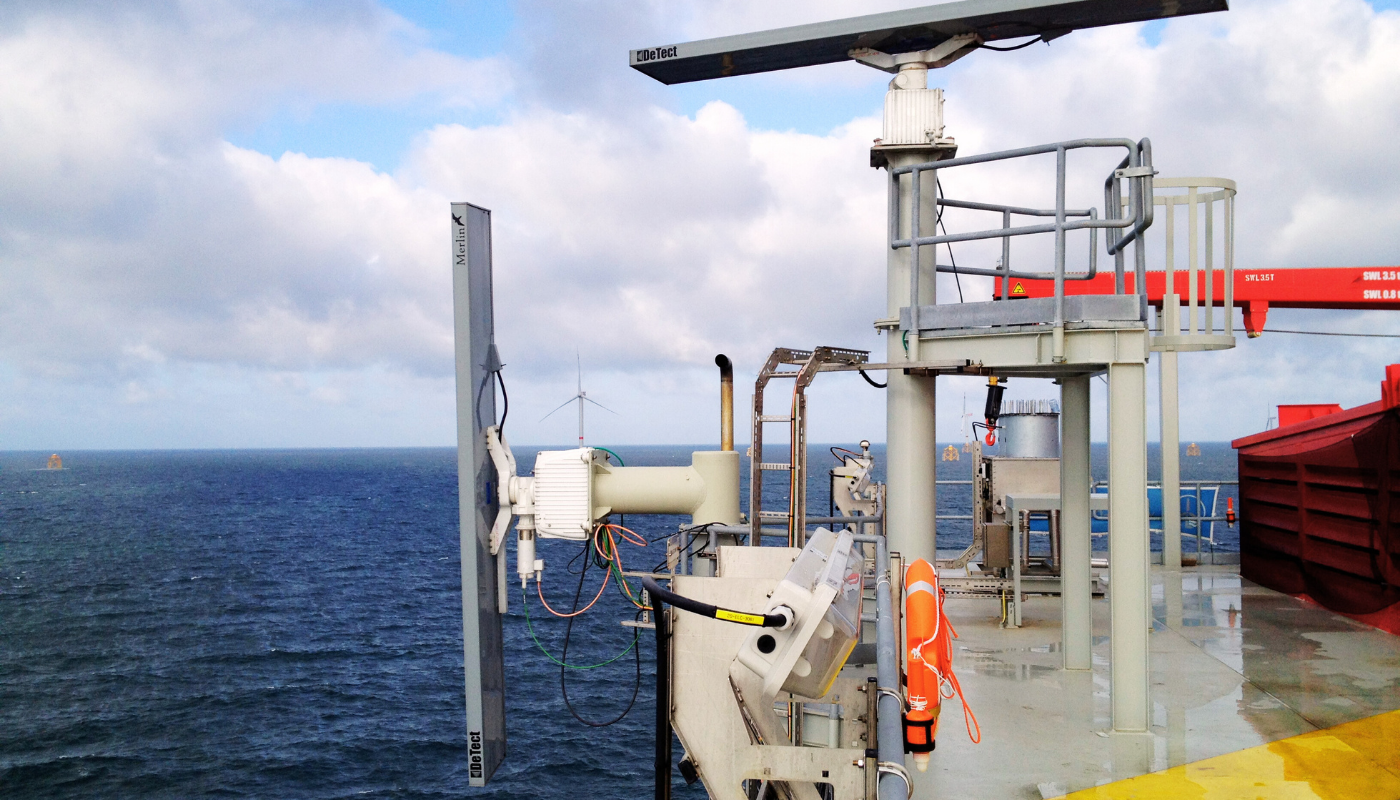
Risk-assessment radar surveys for wind-energy projects offer significant advantages over conventional visual bird-survey techniques. The MERLIN bird and bat risk-assessment radar survey system is a powerful and proven tool used for monitoring and real-time risk assessment aimed at reducing bird and bat mortality risk in both onshore and offshore wind-energy projects in the United States and Europe.

MERLIN radars provide both vertical and horizontal scanning. This enables the system to collect highly precise data on bird and bat passage rates and flight altitudes at proposed or existing wind-farm sites and to create bird and bat target databases. These databases provide detailed information on the altitude range swept by turbine rotors, helping to quantitatively determine bird and bat mortality risk at wind farms.

The system also collects detailed data on bird and bat movements around wind farms. These data can cover distances of 2–4 nautical miles and altitudes of up to 10,000 feet. MERLIN Data Analyzer software provides standard and custom database queries that support quantitative calculations of the number of birds and bats passing through the rotor-swept zone and help determine bird and bat mortality risk.

In summary, radar surveys for wind-energy projects provide significant advantages compared with conventional visual bird surveys. MERLIN is a powerful and proven solution used for assessment, monitoring, and real-time risk-reduction activities in both onshore and offshore wind-energy projects in the United States and Europe.

Features and Benefits

In MERLIN, position information for hazardous bird targets is transmitted simultaneously to multiple local and remote users in operationally usable formats through user-selectable display options. These display options include color-coded symbols, unique identifiers for birds and aircraft, target tracks, target labels, and various other display features.

DeTect's MERLIN Advisor risk-warning software continuously monitors bird activity in runway approach and departure corridors and around the airport. The system automatically determines the current bird-strike risk for each corridor and displays it on screen using color-coded text. Risk levels are shown as LOW, MODERATE, or SEVERE, while risk status is indicated using GREEN, YELLOW, and RED. This structure can be easily interpreted and effectively used in high-tempo control-tower environments.

Tower controllers, airport managers, and bird-control personnel are automatically informed of real-time and anticipated changes in risk status through user-selectable visual, audible, and text-based warnings.

MERLIN Advisor is one of the proven and operational automated bird-strike risk monitoring and warning systems available for real-time bird-strike risk management at commercial airports and military air bases.

All target data are continuously recorded in the MERLIN SQL database system for playback, archiving, and analysis and can be analyzed using Data Analyzer software with standard “point-and-click” queries. The integrated MERLIN Reporter feature generates customized or standard BASH management reports for users at the end of each 24-hour period and sends them by email.

Data can also be exported to GIS and Google Earth. This allows integration with customer resource and planning databases for modeling and detailed analysis. MERLIN also includes an optional event-recording module that stores 48–72 hours of complete radar data to support incident and accident investigations.

Expert Application Support

With MERLIN, users receive more than a bird and bat radar system; DeTect provides each system with comprehensive application support. This support includes risk-assessment radar surveys and application design, system installation, data-collection support, and project-specific user training.

Each bird and bat monitoring radar system is also supported by DeTect's team of experienced bird biologists with expertise in bird control and risk mitigation from projects around the world.

For bird and bat risk-assessment radar survey applications, DeTect provides comprehensive data-analysis support, including custom algorithm development, data processing, reporting, risk analysis, and support for the customer's biologists or consultants.

MERLIN bird and bat monitoring radar systems are available for purchase, long-term lease, or short-term rental. Systems can be supplied with or without DeTect operators and are supported by a comprehensive spare-parts and labor warranty.


Related Products

Have questions?